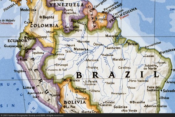
NATIONAL GEOGRAPHIC MAP
return to gallery
Move your mouse over map to see the Amazon River watershed
National Geographic is a magazine published in the United States with a reputation for excellent map making. This map clearly shows the rivers and country borders of northern South America. Moving your mouse over the map shows the watershed (green area) of the Amazon River on this map. The actual rainforest covers a slightly larger area. Compare with the guide book map to see where the Amazon region is with respect to the entire continent. |
Learn more about the National Geographic map
previous map
|
next section
|
|---|


