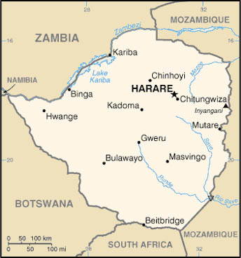
ZIMBABWE MAP
Click image to return to gallery
This political map of Zimbabwe shows the country's boundaries with neighboring countries. Like Zambia to the north, Zimbabwe is entirely landlocked. It relies on rail connections through South Africa for access to sea-going ports. The two biggest city in Zimababwe is the capital Harare, formerly known as Salisbury. This map is produced by the US government and found on the US CIA website. |
Learn more about the Zimbabwe map
previous map
|
next section
|
|---|


