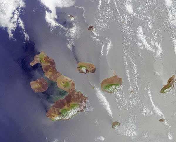
The Multi-angle Imaging SpectroRadiometer (MISR) satellite acquired an image offering a highly detailed view of
the islands, and also suggests the relative sea depth around the island. Blue areas to the west (left of image)
are deeper than the central areas indicated by the gray-green areas. The area covered by this satellite image
measures about 200 miles by 162 miles. The picture was taken on October 26, 2001.
(EXERCISE: Compare the labelled satellite image with a modern map of the Galapagos Islands.)
|

