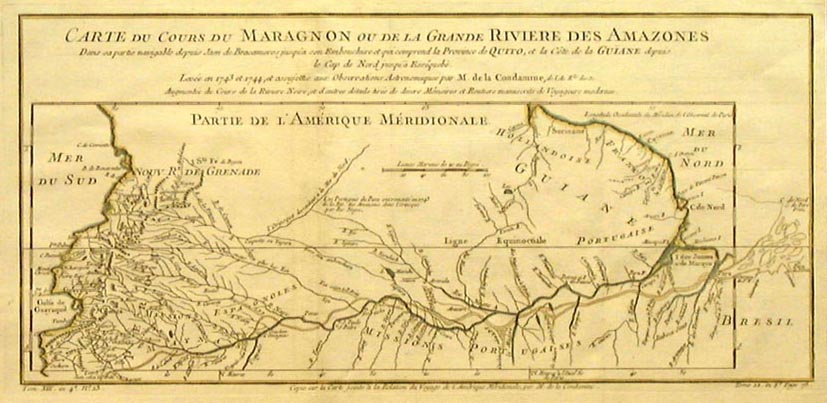
LA CONDAMINE 1780 MAP
Scroll right to see entire map
return to gallery
Charles Marie de La Condamine (1701-1774) was one of the greatest scientists of 18th Century France. This 1780 map shows the Amazon River based on his charts drawn during his voyage to Peru in 1743 to 1744. The maps shows the full length of the Amazon River rising in the Andes mountains (labeled as "Alto Maranon") and flowing east to the Atlantic Ocean to just below Cabo Norte (C. de Nord = Cape North) on the northeast coast of Brazil. (Chart dimensions 7 x 15 inches.) |
Learn more about the La Condamine 1780 map
previous map
|
next map
|
|---|


