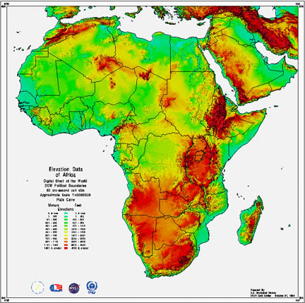
AFRICA ELEVATION MAP
Click image to return to gallery
A map displaying elevation data gives an impression of the topography of an area. In this case we can see the mountains of Africa's interior (red) and the lower-lying areas (green), especially vast flat desert of the Sahara. |


